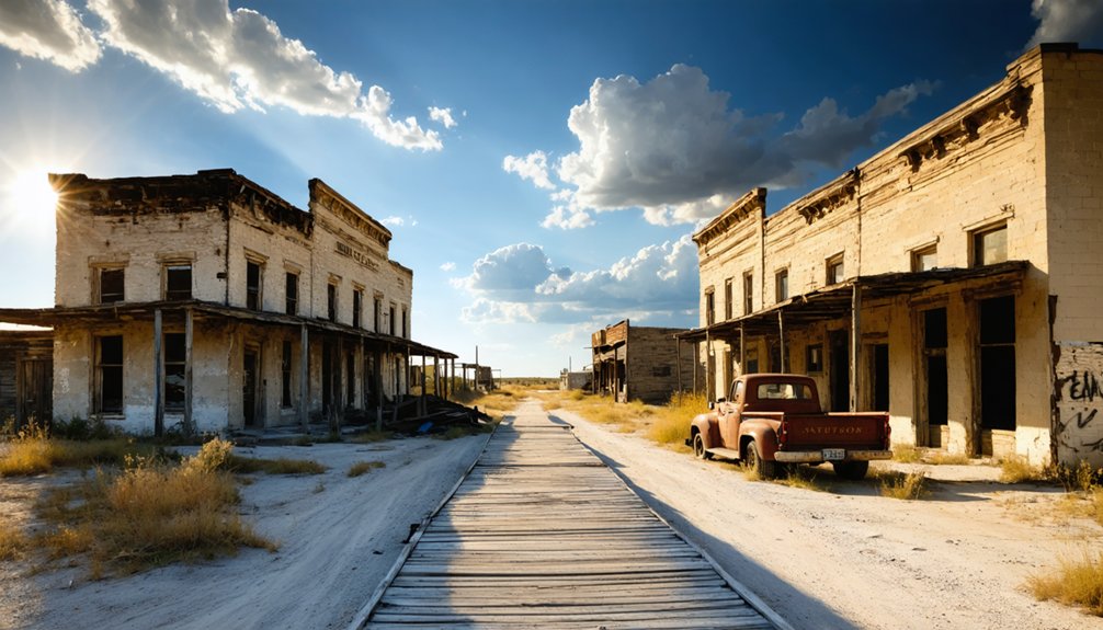
Summer heat transforms abandoned settlements into stark, sun‑bleached landscapes that reveal both the passage of time and the lingering allure of places left behind. Visitors often remark on the eerie silence that contrasts with blazing days, yet the fascination runs deeper: ghost towns are open‑air museums of ambition, failure, and resilience. Below is a curated list of ghost towns across the United States that are particularly compelling to explore when the temperatures rise.
1. Bodie, California
Located at 38°13′30″N 119°49′15″W, Bodie sits in the Sierra Nevada foothills and is preserved as a State Historic Park. During summer, the town’s wooden sidewalks and corroded mining equipment glow under a relentless sun, accentuating the stark reality of a once‑thriving gold rush community. The park’s “arrested decay” policy means buildings are left as they were found, allowing visitors to experience the authentic texture of abandonment while contemplating the boom‑and‑bust cycles that defined the American West.
2. Rhyolite, Nevada
Rhyolite lies at 37°38′19″N 116°23′28″W, just a short drive from the iconic “Welcome to Fabulous Las Vegas” sign. The town’s concrete ruin, including the famed Bottle House, radiates heat in July, making the desert air feel almost tactile. The juxtaposition of grand, Art Deco facades with rolling tumbleweeds invites reflection on how speculative mining ventures could create lavish towns overnight, only to vanish when ore ran dry.
3. St. Elmo, Colorado
Situated at 38°40′12″N 105°25′41″W in the Rocky Mountains, St. Elmo rests at an elevation of 10,200 feet, where summer sun creates crisp, bright days. The well‑preserved schoolhouse and general store stand in sharp contrast to the surrounding pine forest, highlighting the town’s brief but intense period as a mining hub. The lingering scent of pine combined with the town’s isolation offers insight into how geography both nurtured and doomed frontier settlements.
4. Glenrio, Texas/New Mexico Border
Straddling the state line at 35°21′09″N 103°17′48″W, Glenrio was once a bustling stop on Route 66. In summer, the cracked asphalt of the old highway shimmers, and the skeletal remains of the service station and motel evoke a nostalgic highway experience. The town’s dual‑state identity underscores the broader narrative of how transportation arteries can breathe life into remote communities, only to wither when routes are rerouted.
5. Centralia, Pennsylvania
Located at 40°48′58″N 76°00′19″W, Centralia is infamous for an underground coal fire that has been burning since 1962. Summer heat accentuates the town’s smoky haze, and the few remaining homes are dotted with warning signs. The persistent fire serves as a stark reminder of industrial hubris, illustrating how human intervention can create long‑lasting environmental legacies that outlive the communities they once supported.
6. Goliad, Texas
At 28°40′11″N 97°02′49″W, Goliad’s remnants of a 19th‑century settlement stand amid rolling hills and open pastureland. Summer days illuminate the town’s stone foundations, revealing the meticulous planning of early settlers who attempted to establish a permanent agricultural hub. The town’s decline, caused by shifting trade routes and water scarcity, underscores the delicate balance between human ambition and natural resource limits.
7. Terlingua, Texas
Positioned at 29°19′47″N 103°21′41″W near the Mexican border, Terlingua emerged as a mercury mining town. In the summer months, the desert’s orange glow enhances the weathered adobe structures and the iconic “Welcome” sign. The town’s transition from a mining outpost to a tourist destination highlights the adaptive reuse of ghost towns, showing how contemporary visitors can repurpose historic decay for recreation and education.
8. Bannack, Montana
Found at 45°21′42″N 112°58′25″W, Bannack was Montana’s first territorial capital. Summer heat brings a golden hue to the wooden boardwalks and the remaining saloon, where artifacts are displayed in situ. The town’s rapid rise and fall—driven by gold discoveries—exemplify the volatile nature of frontier economies, offering a tangible lesson on how natural resource dependency can dictate a settlement’s lifespan.
9. Calico, California
Located at 34°57′27″N 116°46′22″W, Calico was once a bustling silver mining town. The summer sun reflects off the red sandstone buildings, giving the ghost town a vivid, almost surreal appearance. Modern preservation efforts have turned Calico into a living museum, providing insight into how heritage tourism can sustain the memory of abandoned places while generating economic activity for surrounding regions.
10. Garnet, Montana
At 46°41′03″N 113°46′58″W, Garnet lies in a remote valley accessed by a rugged gravel road. Summer’s bright daylight reveals the town’s intact cabins, blacksmith shop, and the original schoolhouse. The isolation of Garnet underscores the challenges faced by miners who built communities in inhospitable terrain, and its preservation invites contemplation of the human drive to carve out livelihoods in the most unforgiving environments.
11. Jerome, Arizona
Positioned at 34°44′31″N 112°07′58″W on the side of Cleopatra Hill, Jerome was known as the “World’s Highest Town.” In summer, the intense sun casts long shadows over the terraced homes and the old copper mine shafts. Jerome’s revival as an arts community demonstrates how ghost towns can be rejuvenated, blending historical preservation with contemporary cultural expression.
12. Rhyolite Canyon, Nevada
Coordinates 37°38′22″N 116°23′07″W mark the site of the lesser‑known Rhyolite Canyon settlement, a satellite community to the main Rhyolite town. Summer heat brings out the stark outlines of the remains of a few cabins and a water tank, emphasizing the fragility of water supply in desert towns. Its minimalistic remnants serve as a reminder that even small, short‑lived settlements contributed to the broader tapestry of westward expansion.