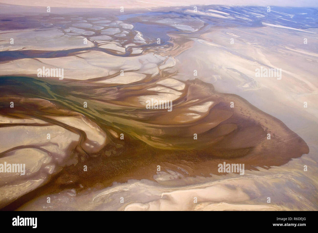
The Skeleton Coast stretches along Namibia’s north‑western shoreline, a stark ribbon of desert meeting the Atlantic. From the air the landscape appears as an endless expanse of pale dunes, jagged cliffs, and scattered wreckage, prompting many visitors to wonder why such an inhospitable region draws endless fascination. Below, ten observations that often catch the eye are unpacked, each paired with the deeper geological, historical, and ecological reasons that make this aerial vista a compelling study.
1. The Persistent Coastal Fog
From above, a thin veil of fog regularly hugs the coastline, creating a muted, almost monochrome palette. This “Namib Mist” forms when the cold Benguela Current meets the hot desert air, causing condensation at low altitude. While the fog can obscure navigation, it also sustains a surprising amount of life, delivering moisture to lichens, beetles, and the iconic desert beetle that harvests water from fog droplets. The phenomenon explains both the desolate appearance and the subtle signs of resilience.
2. Shipwrecks Punctuating the Shoreline
Scattered metallic fragments and skeletal remains of vessels are visible even from high altitude, earning the coast its ominous name. Over a century of maritime traffic faced the treacherous combination of hidden reefs, fog, and strong currents, leading to dozens of wrecks. These relics serve as historical markers of trade routes, colonial ambition, and the unforgiving power of nature, turning the coastline into a living museum of maritime archaeology.
3. The Contrast Between Dune Fields and Ocean
Sharp, soaring dunes rise abruptly from the sea, creating a stark visual contrast. These dunes are composed largely of quartz sand carried inland by the persistent onshore winds. Their steep angles and ripple patterns reveal the dominant wind direction and velocity, providing insight into the region’s climatic stability. The juxtaposition underscores the paradox of a desert that exists directly beside a productive oceanic current.
4. Isolated Cliffs and Sea‑Cave Formations
Vertical cliffs carve out the coastline, often punctuated by sea‑caves that glow faintly when illuminated by low‑angle sunlight. The cliffs are primarily made of ancient granite and basalt, eroded over millennia by wave action and wind abrasion. Their presence hints at a complex geological history involving volcanic activity, tectonic uplift, and long‑term erosional processes that have shaped the present‑day coastline.
5. Sparse Vegetation Patterns
Green patches appear sporadically amid the gray dunes, most notably around ancient spring water sources. The survival of the desert-adapted Welwitschia plant and succulent shrubs in these pockets signals underground aquifers and ancient river beds now buried beneath the sand. Aerial observation of these vegetated islands helps map hidden water resources, a crucial factor in understanding both past human settlement and current wildlife distribution.
6. The Linear Alignment of Dune Plains
From the air, the dunes display a remarkably uniform, linear orientation, running parallel to the coastline. This pattern results from the dominance of the south‑west trade winds that consistently shape dune migration. The linearity serves as a visual record of persistent wind regimes, offering scientists a natural laboratory for studying aeolian dynamics and climate change over decades.
7. The Presence of the Himba Communities
Small, isolated settlements of the Himba people appear as faint, earthy clusters tucked behind dunes. Their placement reflects strategic decisions to avoid the harshest winds while maintaining access to grazing lands and water sources. Observing these communities from above highlights the delicate balance between human adaptation and the unforgiving environment, adding a cultural layer to the aerial narrative.
8. The Unusual Coloration of the Sand
While much of the sand is a pale, almost bleached hue, certain stretches exhibit a reddish tint. This coloration is due to iron oxide deposits within the quartz grains, indicating a mineralogical variation linked to ancient inland erosion. The differing colors serve as a visual clue to the sediment’s origin, revealing the connectivity between inland geological processes and the coastal sedimentary environment.
9. The Low‑Altitude Flight Paths of Pelicans and Gulls
Aerial footage often captures flocks of seabirds skimming close to the water’s surface, forming rhythmic patterns against the fog. These birds rely on the nutrient‑rich upwelling created by the Benguela Current, which supports abundant fish populations despite the surrounding desert. Their flight paths illustrate the hidden productivity of the ocean that sustains higher trophic levels, contrasting sharply with the aridity on land.
10. The Extent of the “Desert Coast” Designation
Satellite imagery and aerial surveys confirm that the desert coastline extends for over 500 kilometers without interruption. This uninterrupted stretch underlines Namibia’s status as a UNESCO World Heritage site, recognized for its unique combination of desert and marine ecosystems. The vast, uninterrupted view reinforces the notion that the Skeleton Coast is not an isolated curiosity but a continuous, integrated landscape of global significance.
11. The Interaction of Tidal Pools with Dune Systems
In low‑lying sections, tidal pools appear as dark, reflective oases against the light sand. These pools form where the sea penetrates dune depressions during high tide, creating microhabitats for marine invertebrates and algae. Their existence demonstrates the dynamic interface between land and sea, suggesting that even in a seemingly static desert, periodic water influxes shape ecological niches.
12. The Echoes of Historical Exploration Routes
Linear tracks etched into the sand trace the paths of early European explorers and German colonial expeditions. These routes, still faintly visible from the sky, reveal how early travelers attempted to bypass the treacherous coastline by traversing inland dunes. The lingering tracks offer a visual testimony to human persistence, linking modern aerial perspectives with the historical narratives that have defined the Skeleton Coast’s allure.